Vía de la Plata
A long southern Camino from Seville through Andalucía, Extremadura and the old Roman-road corridor, then following the Sanabrés continuation through A Gudiña, Laza and Ourense toward Compostela. Its 970 km progress scale uses curated orientation anchors.

Curated orientation points rather than a turn-by-turn navigation guide. Route variants can change the exact distance.
-
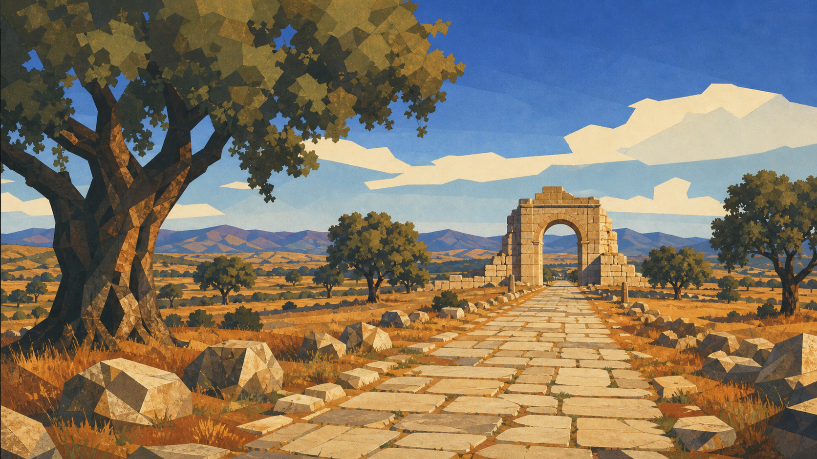 Seville Spainkm 0.0 · Spain
The long southern road begins at Seville Cathedral.
-
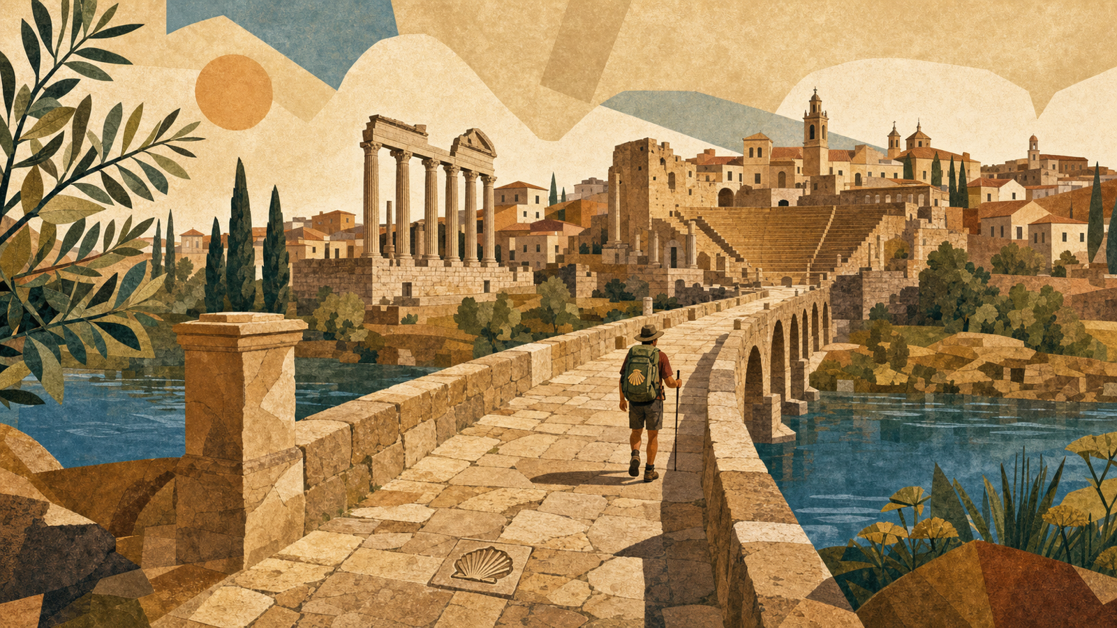 Mérida Spainkm 190.0 · Spain
Roman Emerita Augusta anchors the historic road through Extremadura.
-
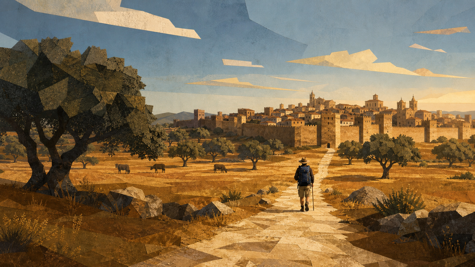 Cáceres Spainkm 260.0 · Spain
A walled old city amid the open dehesa landscape.
-
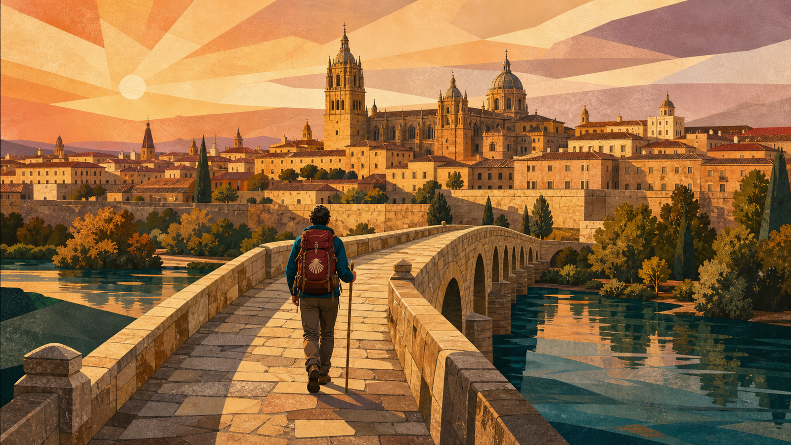 Salamanca Spainkm 480.0 · Spain
Honey-colored sandstone and the old university rise above the plateau.
-
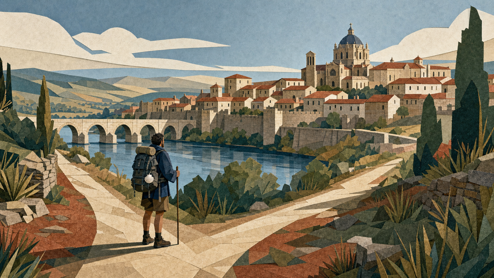 Zamora Spainkm 545.0 · Spain
This presentation takes the Sanabrés continuation; the Astorga branch is a different itinerary.
-
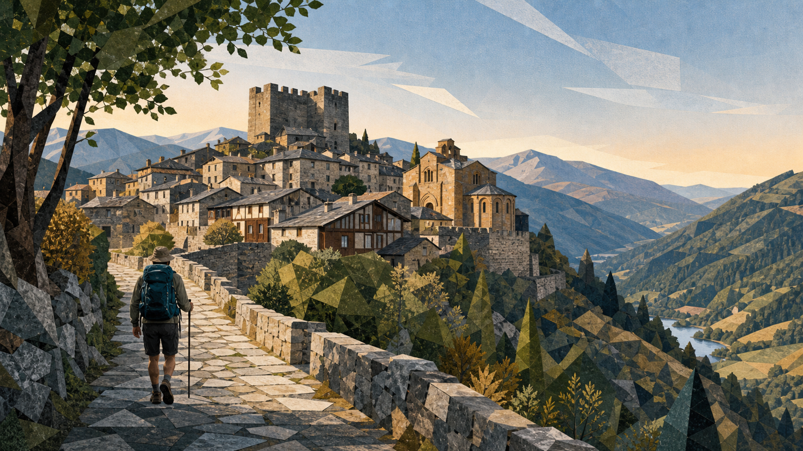 Puebla de Sanabria Spainkm 690.0 · Spain
A stone hill town before the mountain passage into Galicia.
-
 A Gudiña Spainkm 760.0 · Spain
The selected virtual line continues through Laza; Verín remains a documented alternative.
-
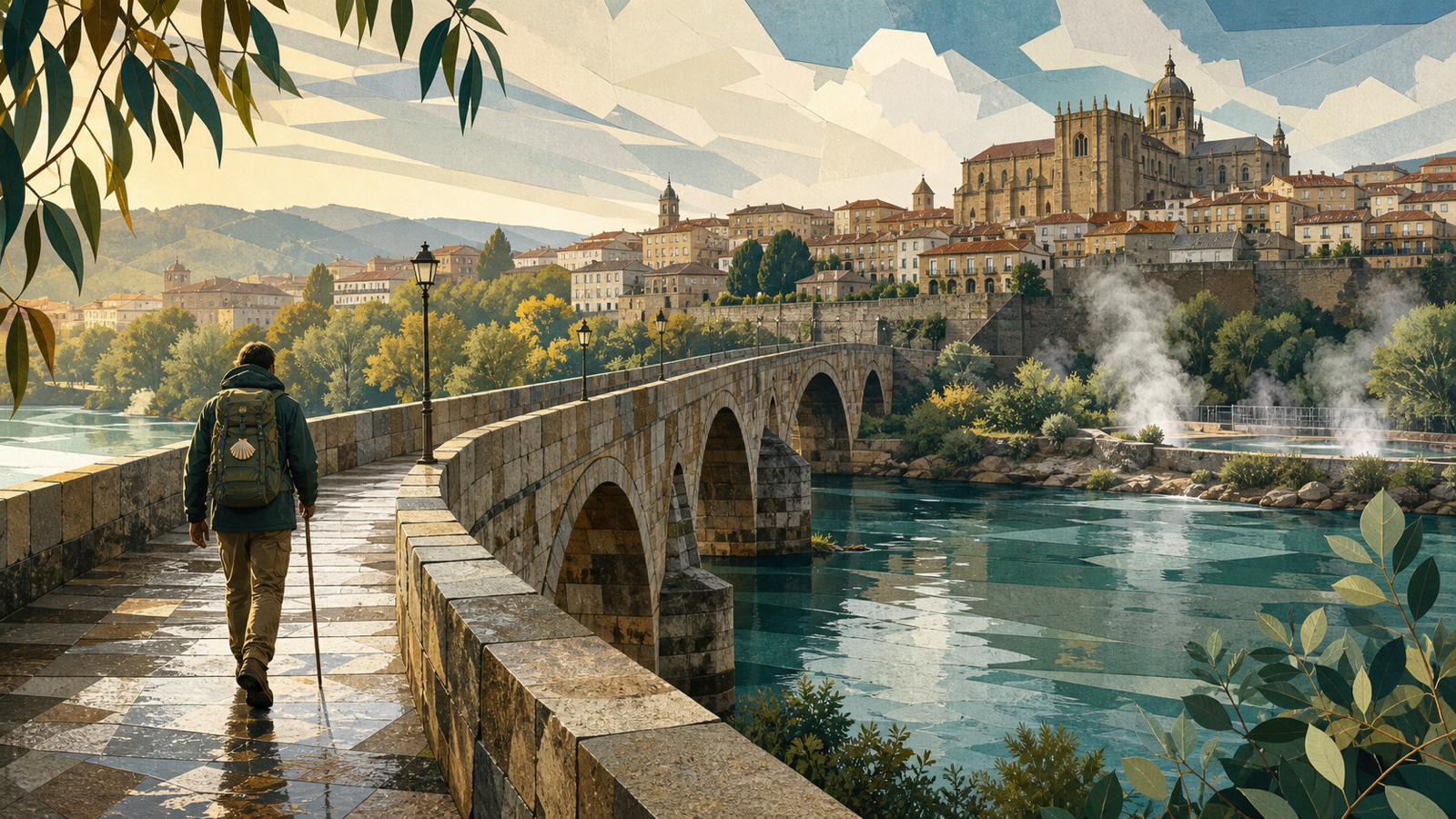 Ourense Spainkm 870.0 · Spain
Thermal springs and the cathedral mark the route's major Galician city.
-
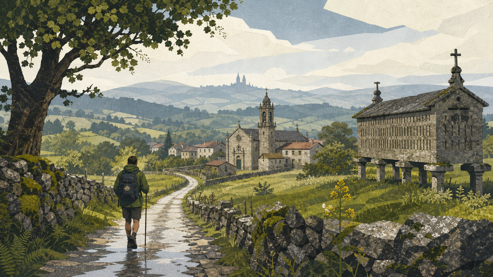 Silleda Spainkm 940.0 · Spain
The final rural stages cross the Deza country.
-
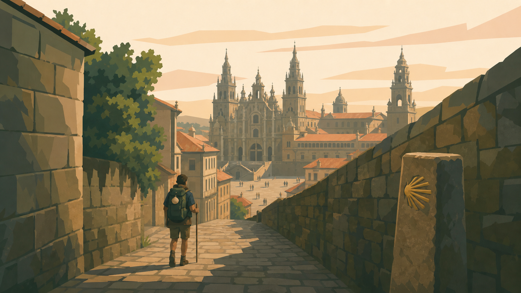 Santiago de Compostela Spainkm 970.0 · Spain
The southern road reaches the cathedral after the catalog's longest Iberian journey.