Camino Portugués Coastal
An Atlantic alternative from Porto, following boardwalks, fishing towns and estuaries north to A Guarda, Baiona and Vigo before joining the inland Portuguese road toward Santiago. This virtual presentation uses a curated 280 km scale; real coastal and littoral variants differ.
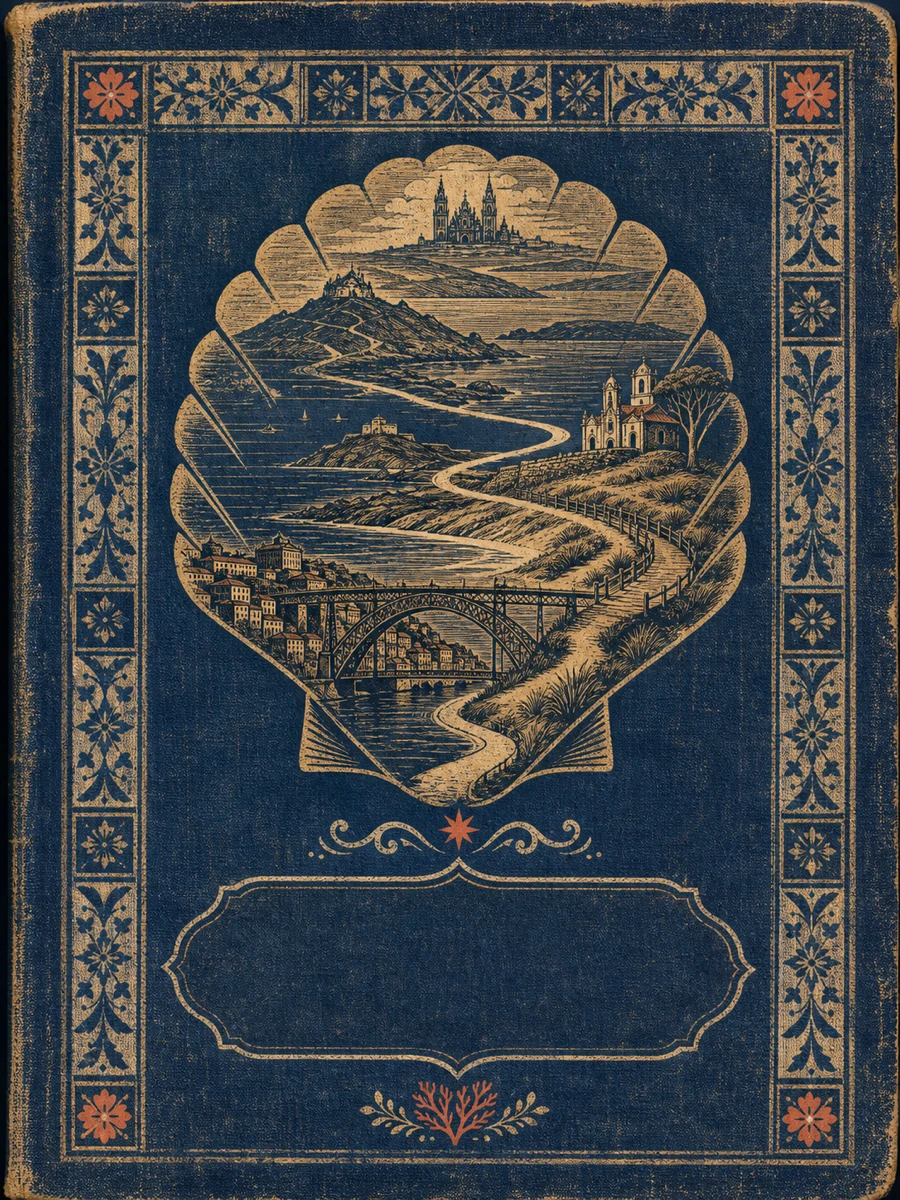
Curated orientation points rather than a turn-by-turn navigation guide. Route variants can change the exact distance.
-
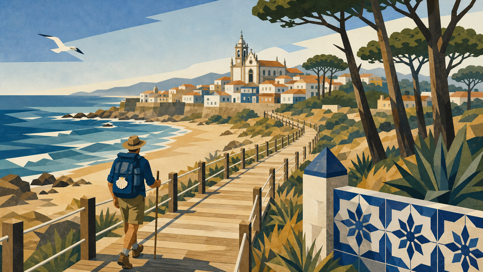 Porto Cathedral Portugalkm 0.0 · Portugal
The coastal and central Portuguese Caminos share a beginning above the Douro.
-
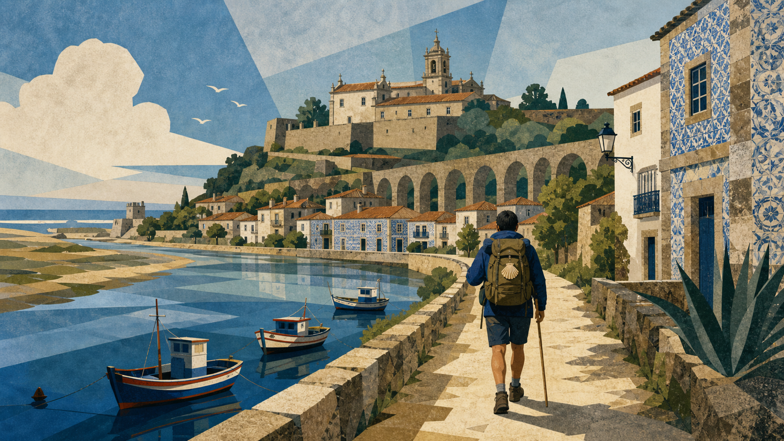 Vila do Conde Portugalkm 33.0 · Portugal
Boardwalks and the Ave estuary lead into a historic maritime town.
-
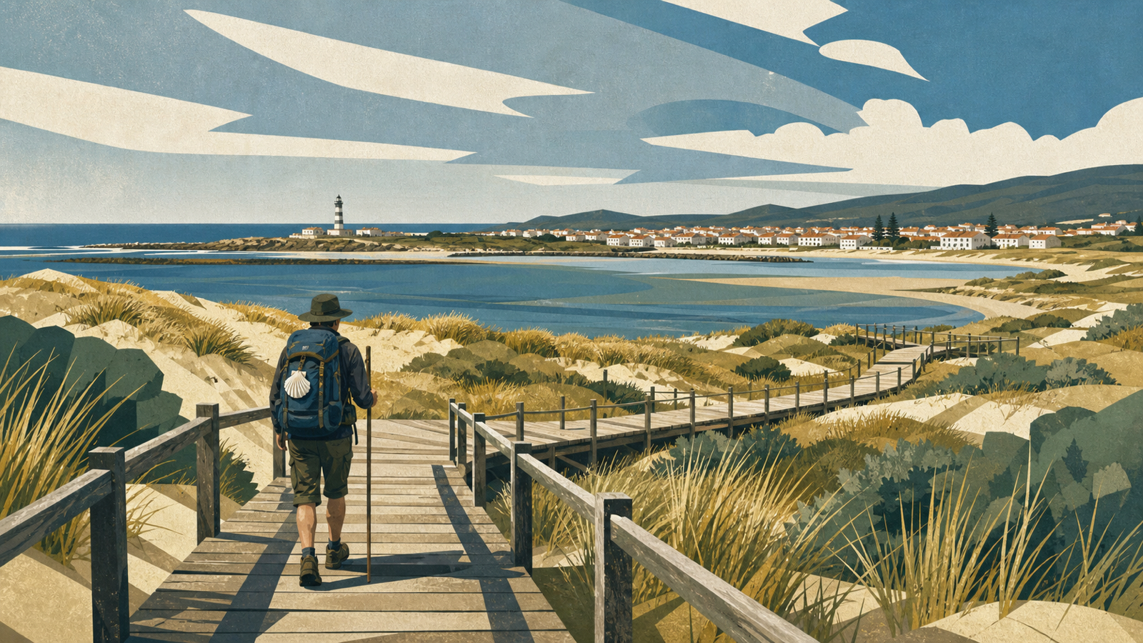 Esposende Portugalkm 64.0 · Portugal
Dunes, river and Atlantic wind define the Cávado coast.
-
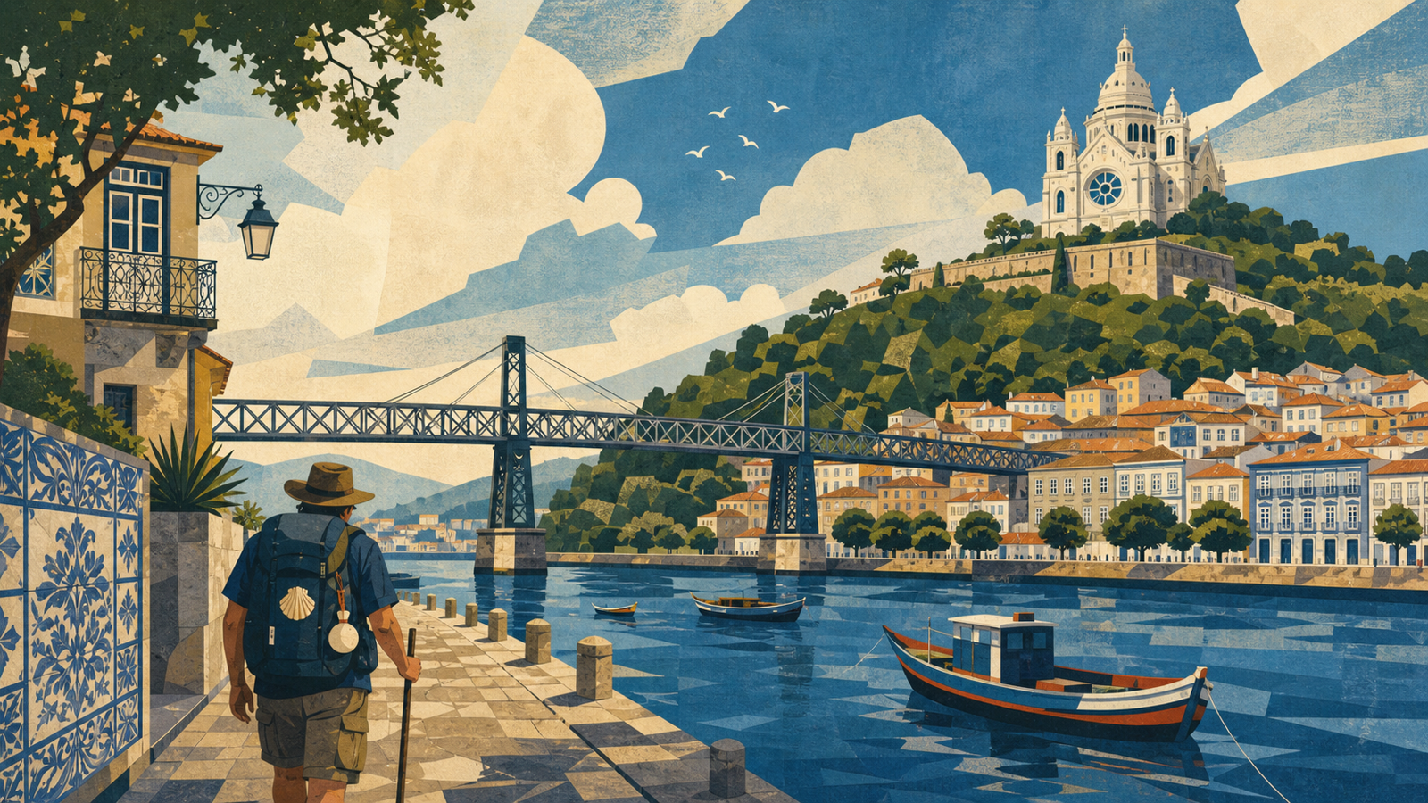 Viana do Castelo Portugalkm 90.0 · Portugal
A tiled old city beneath the hill of Santa Luzia.
-
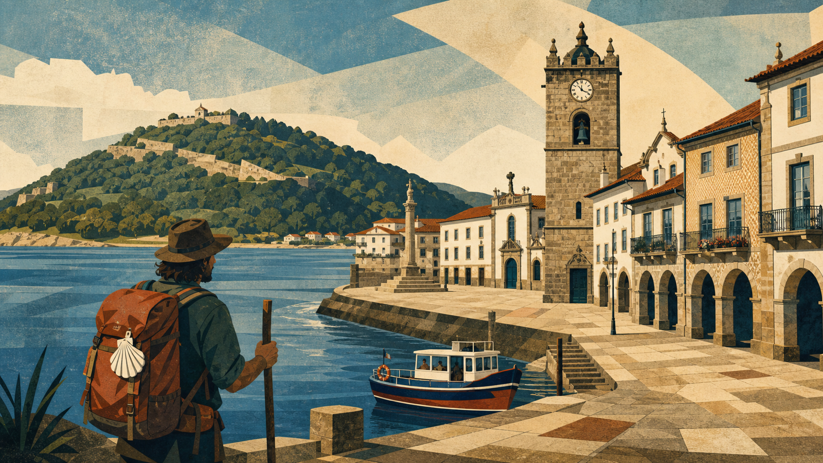 Caminha Portugalkm 118.0 · Portugal
The Minho estuary separates Portugal from Galicia; pilgrims should verify current crossing options independently.
-
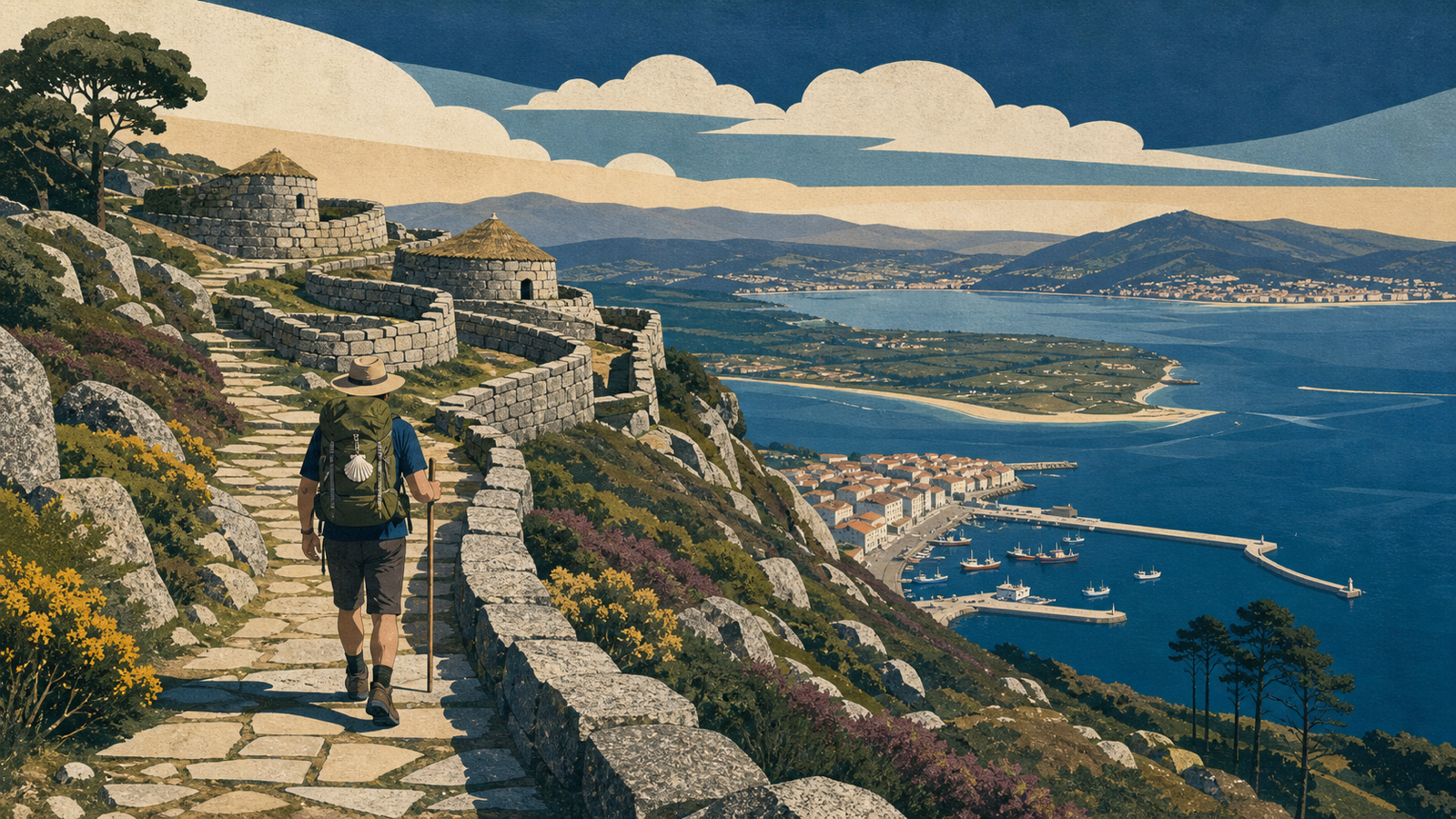 A Guarda Spainkm 125.0 · Spain
The official Galician coastal route begins beneath Mount Santa Trega.
-
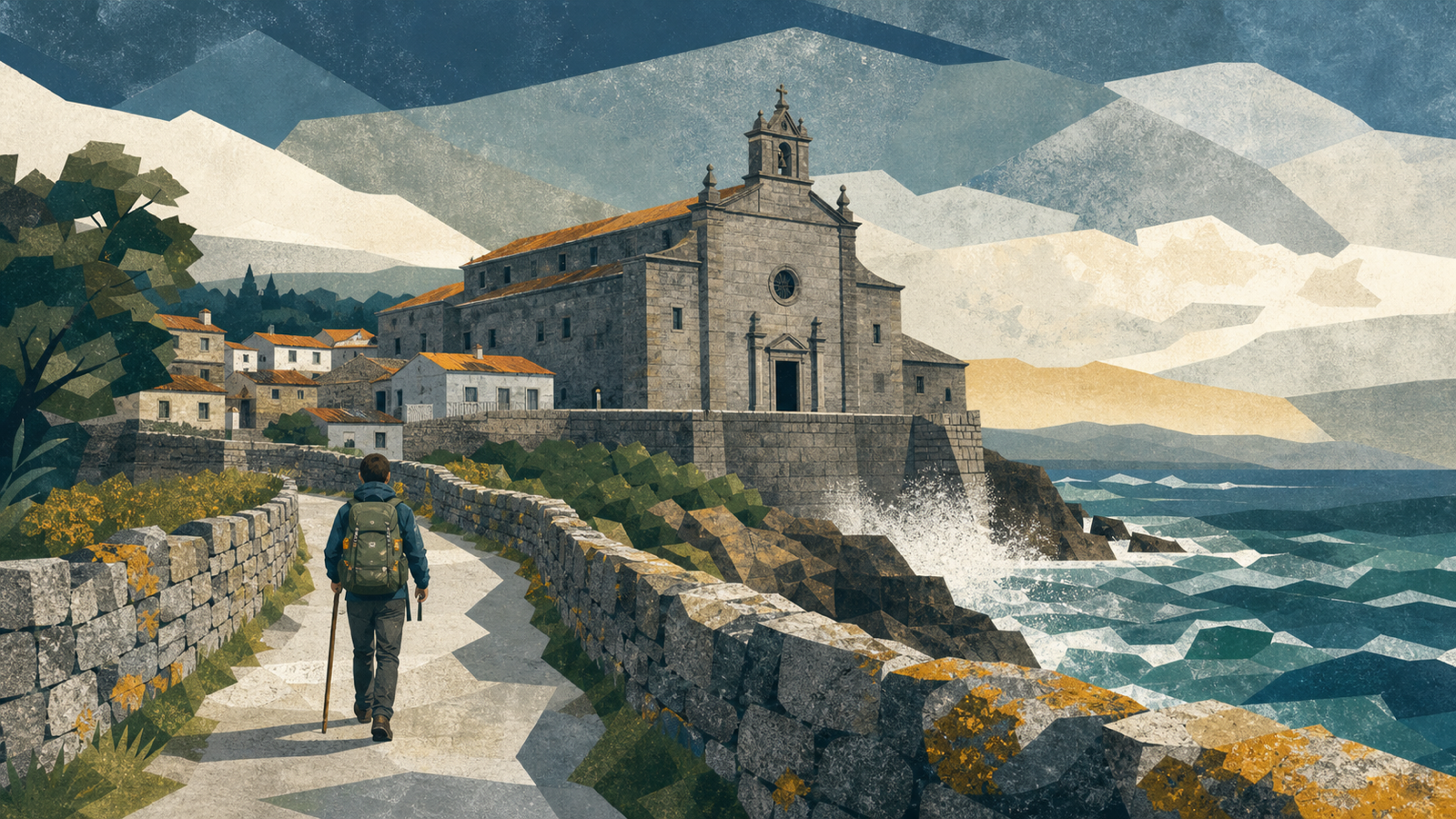 Oia Spainkm 142.0 · Spain
The monastery of Oia faces directly onto the Atlantic.
-
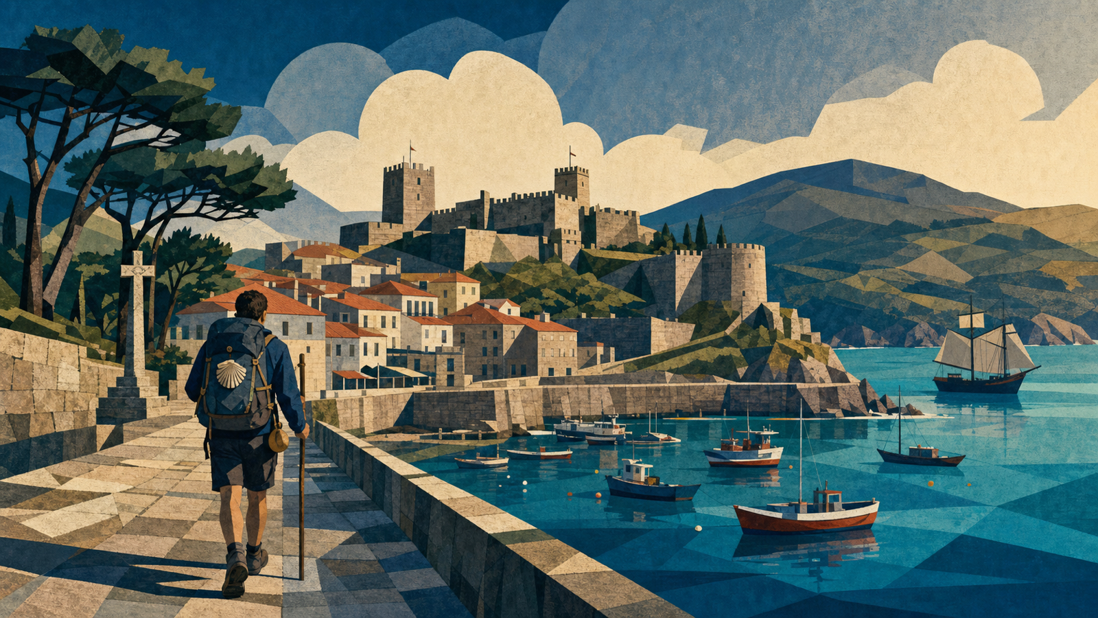 Baiona Spainkm 165.0 · Spain
A sheltered harbor and the walls of Monterreal open the Ría de Vigo.
-
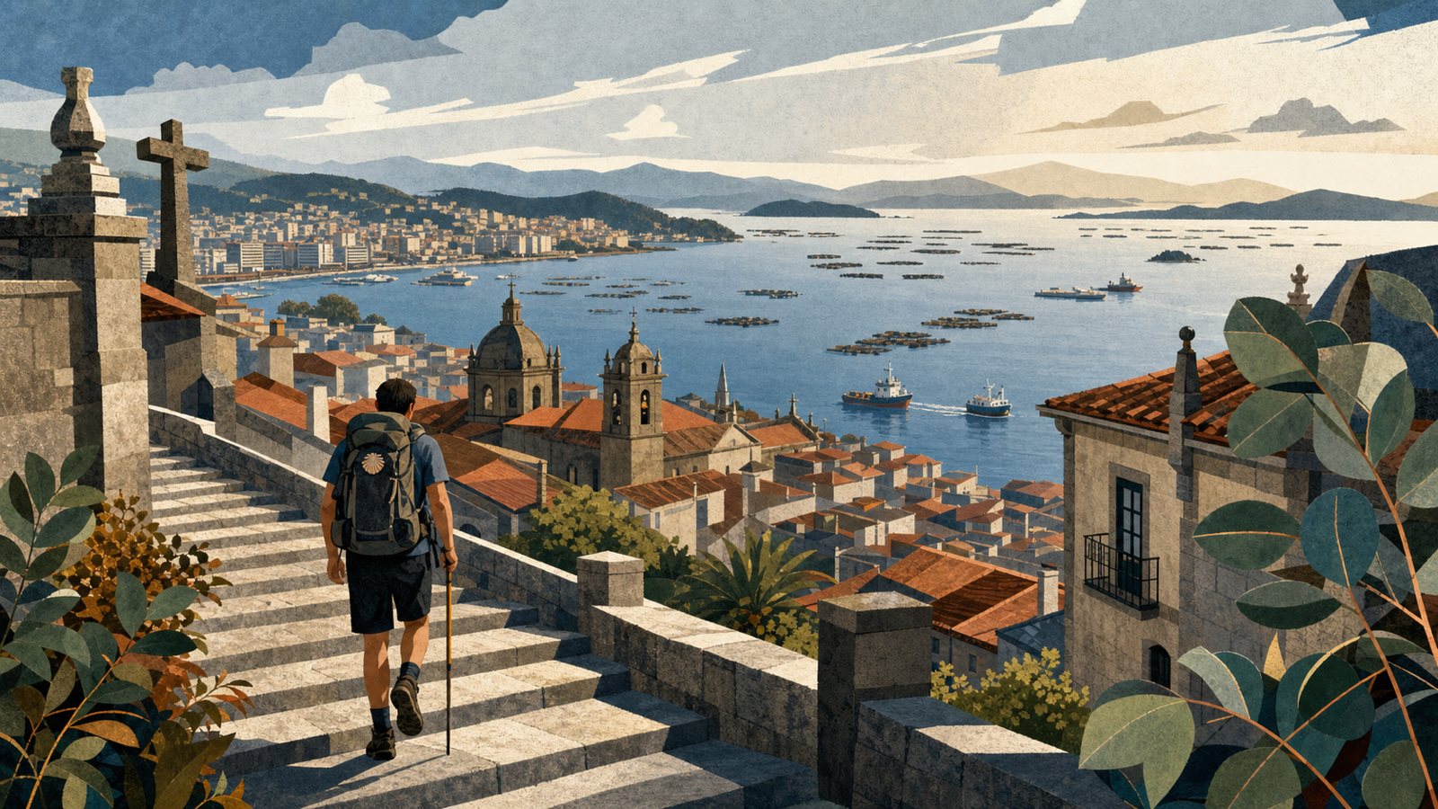 Vigo Spainkm 200.0 · Spain
The largest city on the route climbs above its broad estuary.
-
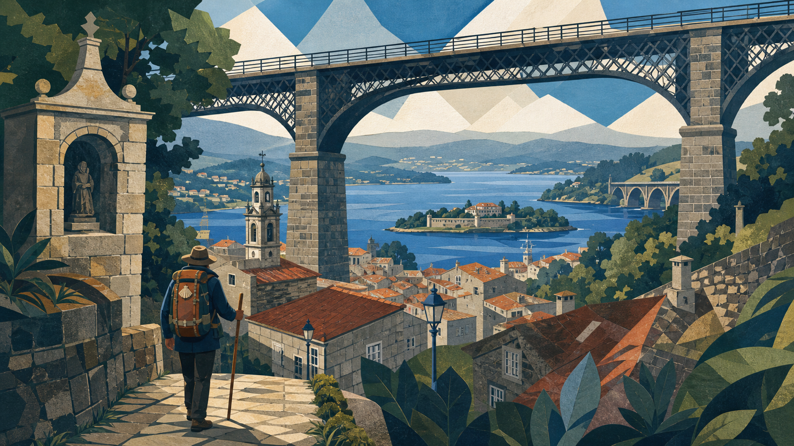 Redondela Spainkm 216.0 · Spain
The coastal and central Portuguese routes converge here.
-
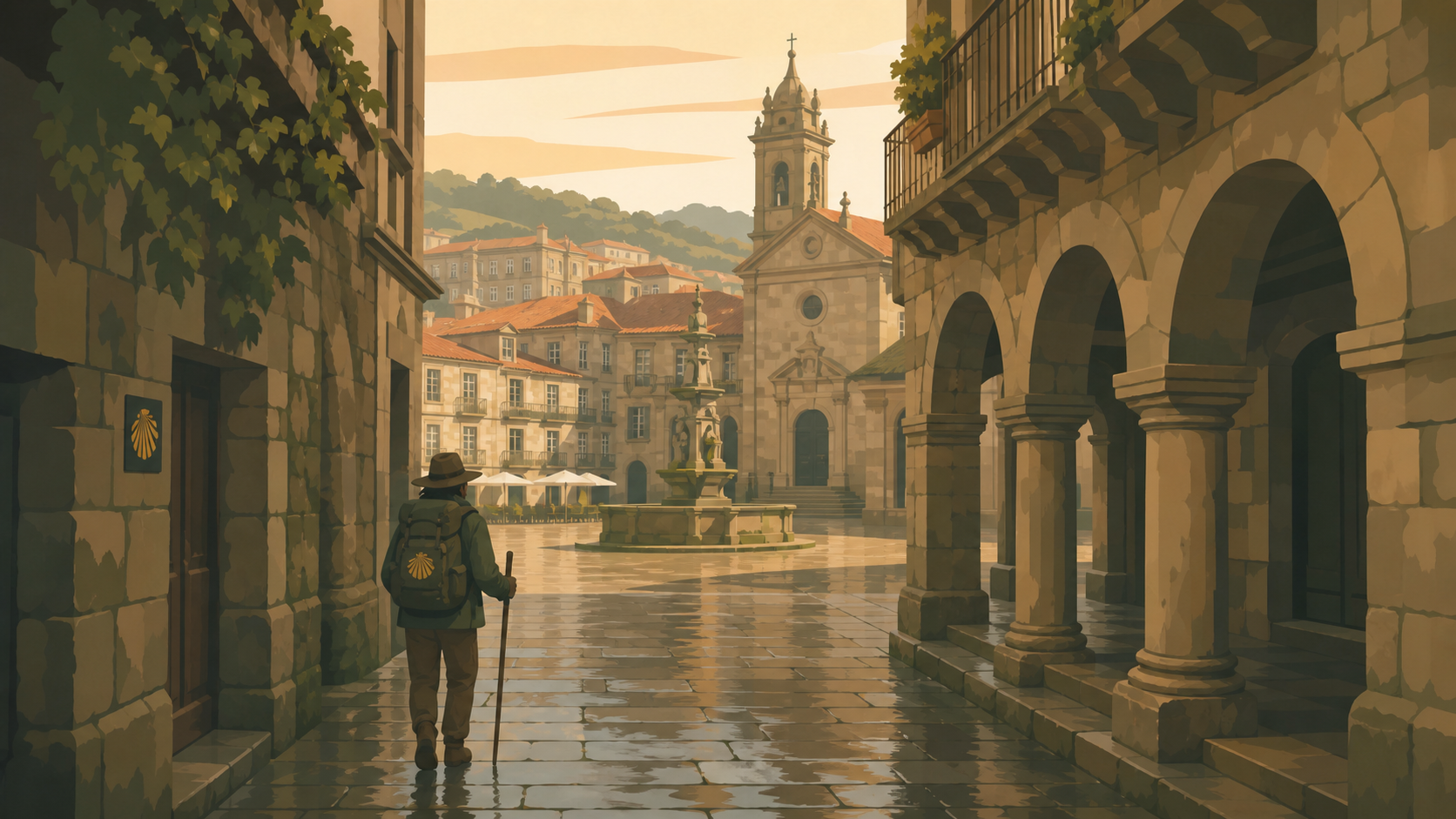 Pontevedra Spainkm 235.0 · Spain
A walkable granite old town surrounds the pilgrim church.
-
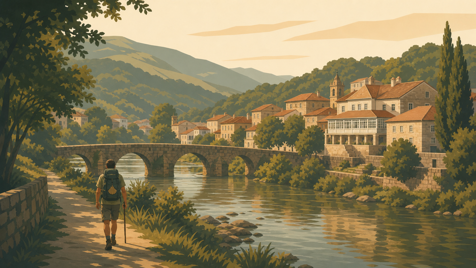 Caldas de Reis Spainkm 258.0 · Spain
Thermal waters mark a traditional final-stage town.
-
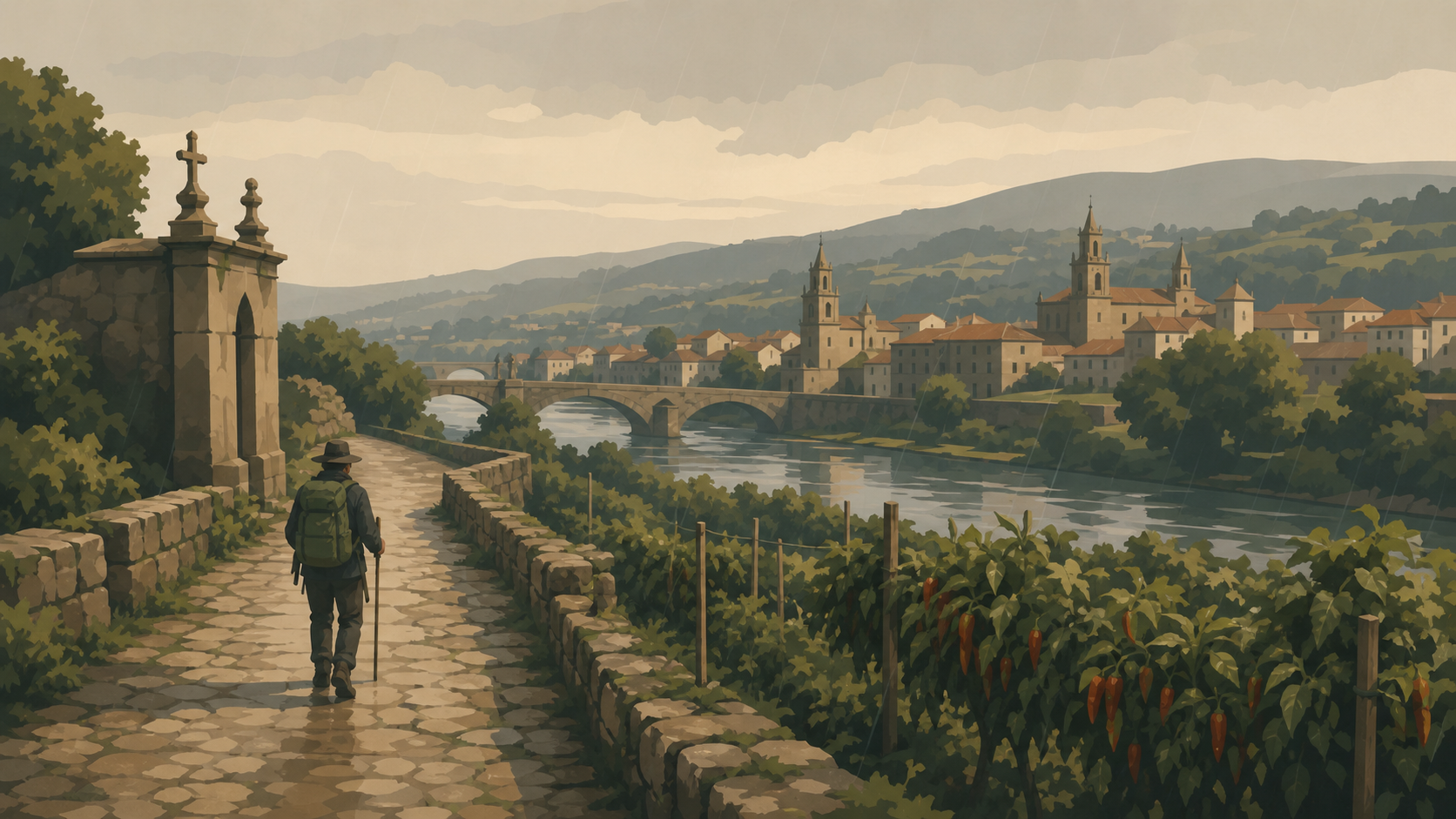 Padrón Spainkm 270.0 · Spain
Jacobean tradition connects Padrón with the arrival of the apostle's body.
-
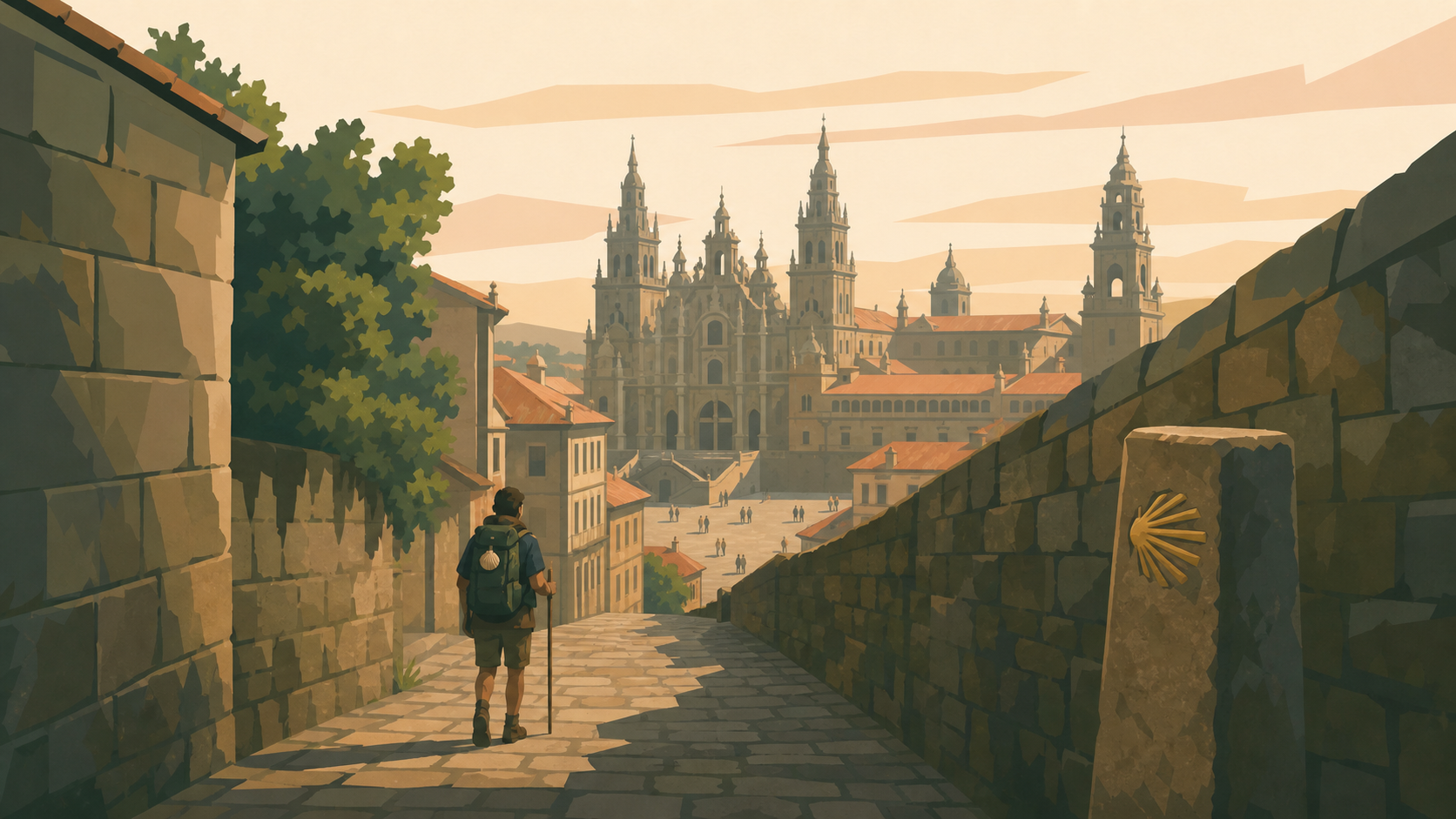 Santiago de Compostela Spainkm 280.0 · Spain
The Atlantic road joins the final approach to the cathedral.