Camino Inglés
The maritime Way used by medieval pilgrims arriving from Britain, Ireland, Flanders and Scandinavia—from Ferrol's Curuxeiras docks through estuary towns, wooded Galicia and Santiago's northern gate. This tracked journey follows the 112.4 km Ferrol branch; the shorter A Coruña branch remains outside this route because it joins at Bruma and needs its own progress model.
Curated orientation points rather than a turn-by-turn navigation guide. Route variants can change the exact distance.
-
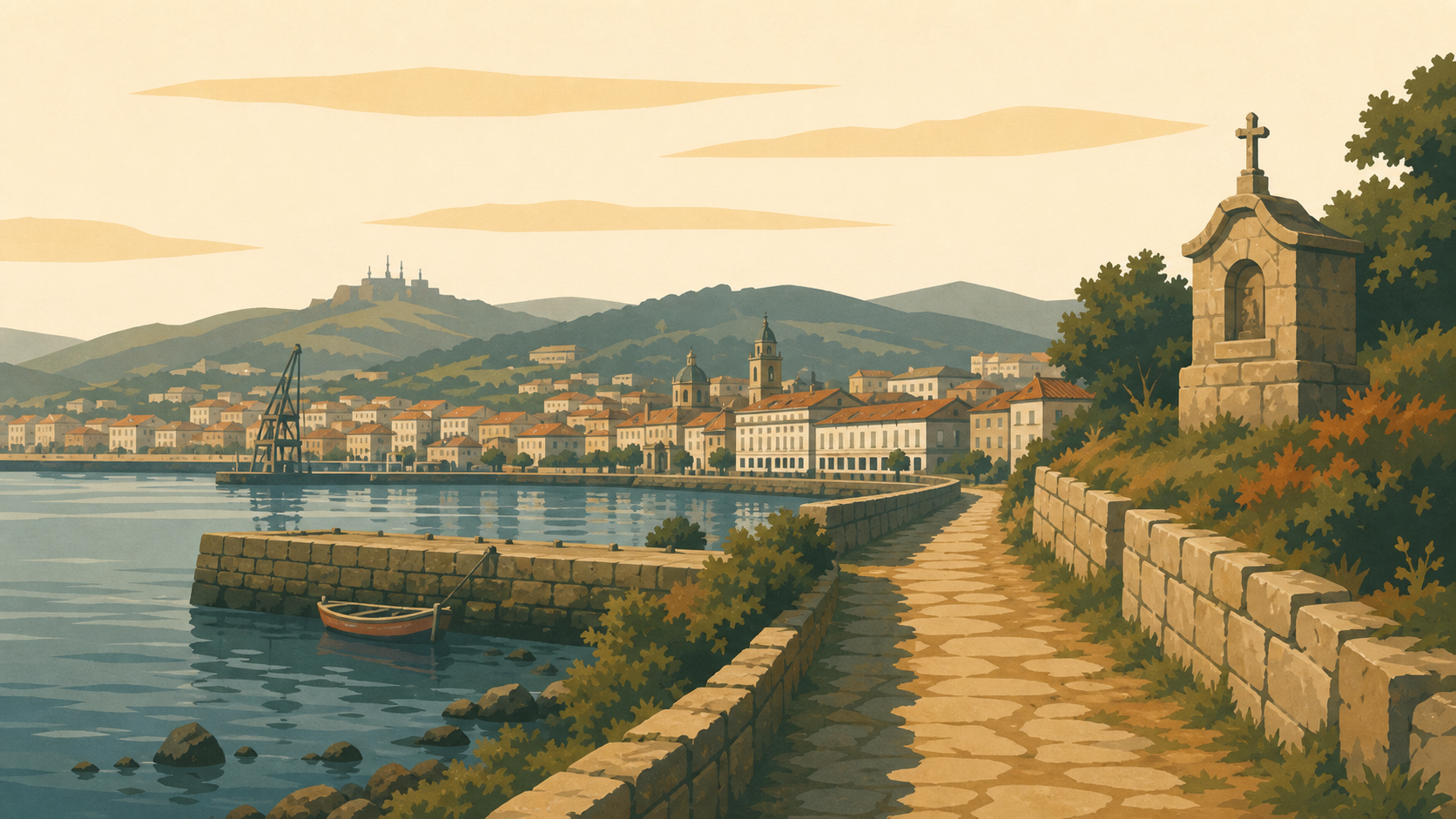
Ferrol Spainkm 0.0 · Spain
The route leaves the medieval Curuxeiras docks and follows the Ferrol estuary.
-
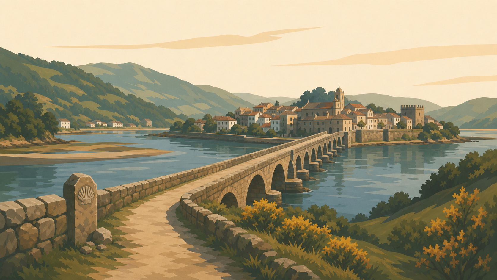 Pontedeume Spainkm 28.3 · Spain
A long stone bridge leads across the Eume estuary into the medieval town.
-
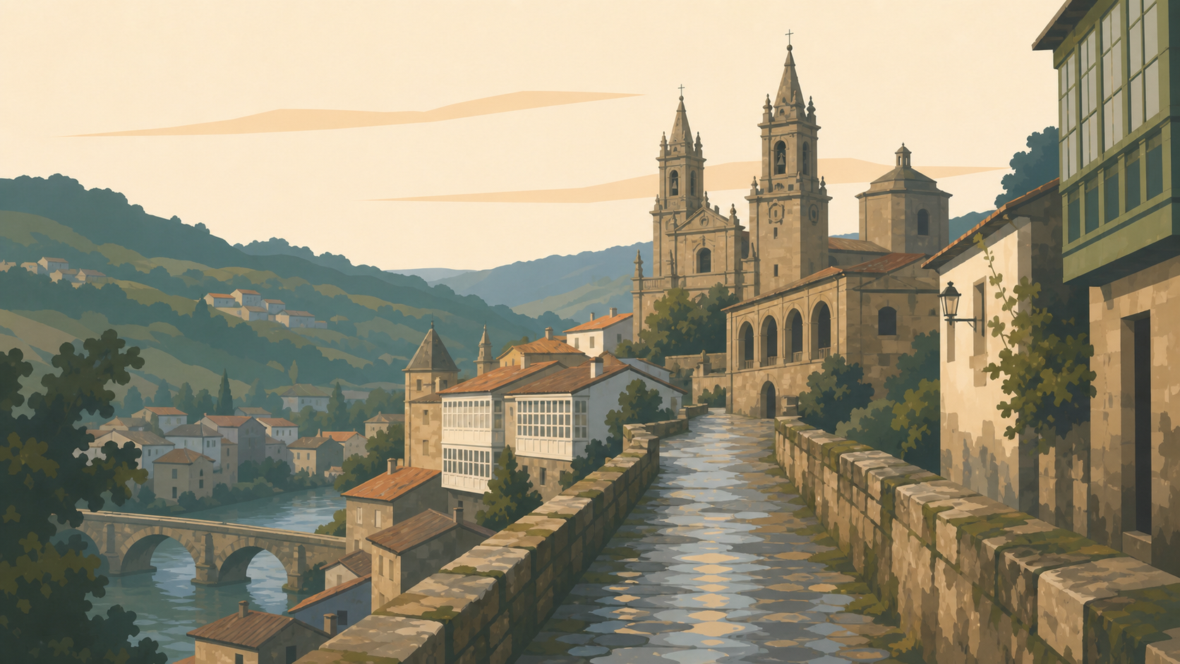 Betanzos Spainkm 48.2 · Spain
The Way enters the historic town through the Ponte Vella arch above the Mandeo River.
-
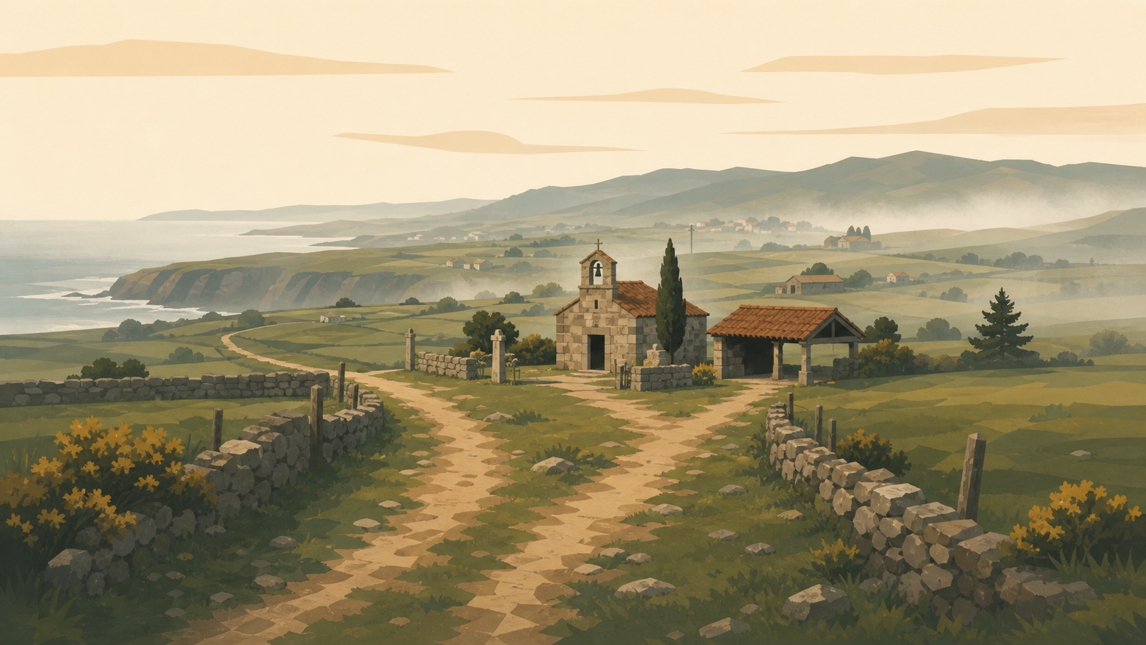 Bruma Spainkm 72.2 · Spain
The Ferrol and A Coruña branches converge near Bruma's former medieval pilgrim hospital.
-
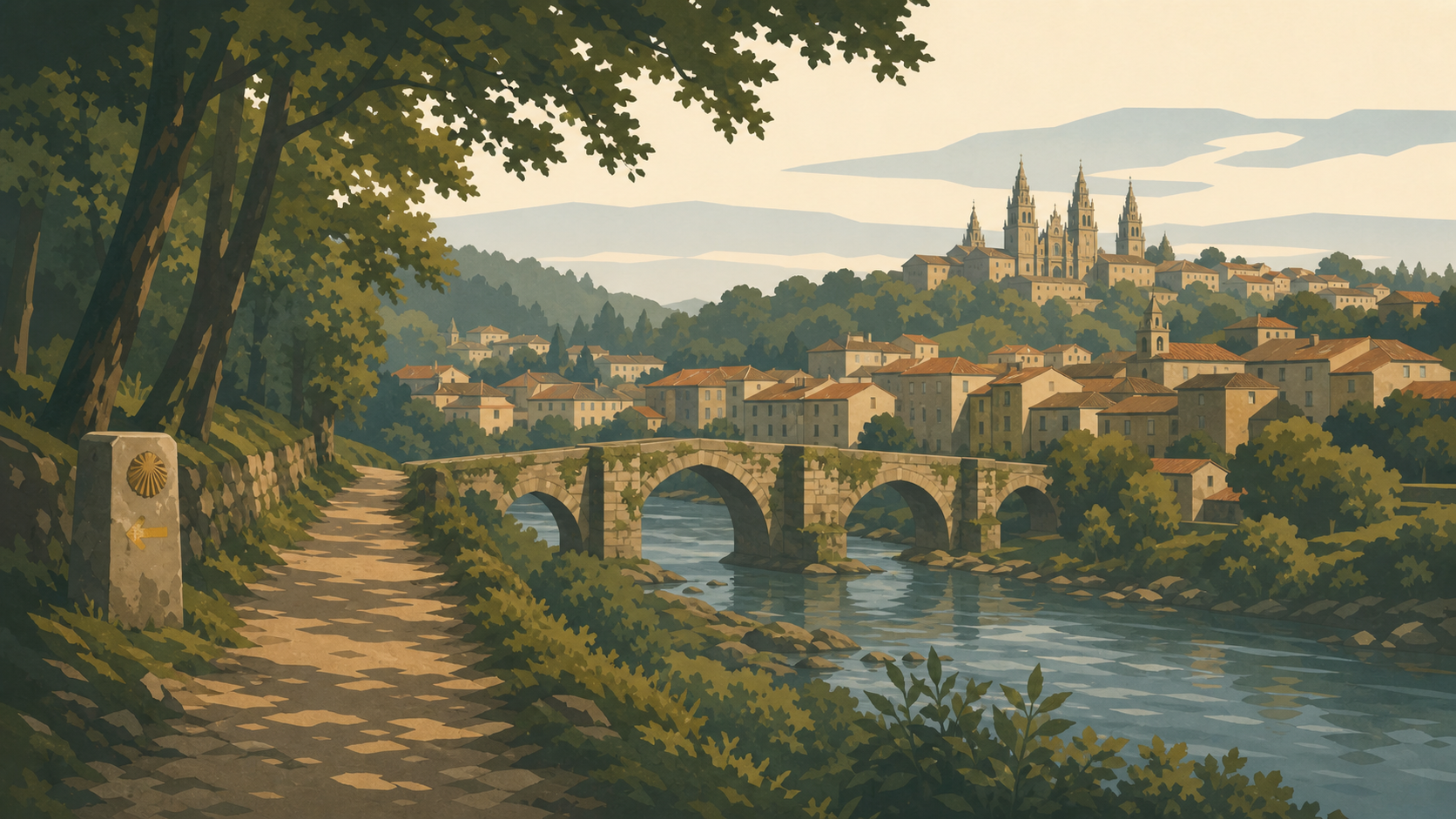 Sigüeiro Spainkm 96.4 · Spain
The final overnight town stands beside the old bridge across the Tambre River.
-
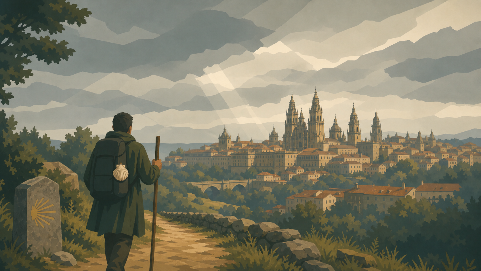 Santiago de Compostela Spainkm 112.4 · Spain
The English Way enters the old city from the north and reaches the cathedral.