All routes
San Luis, Colorado → El Santuario de Chimayó

Camino del Norte a Chimayó

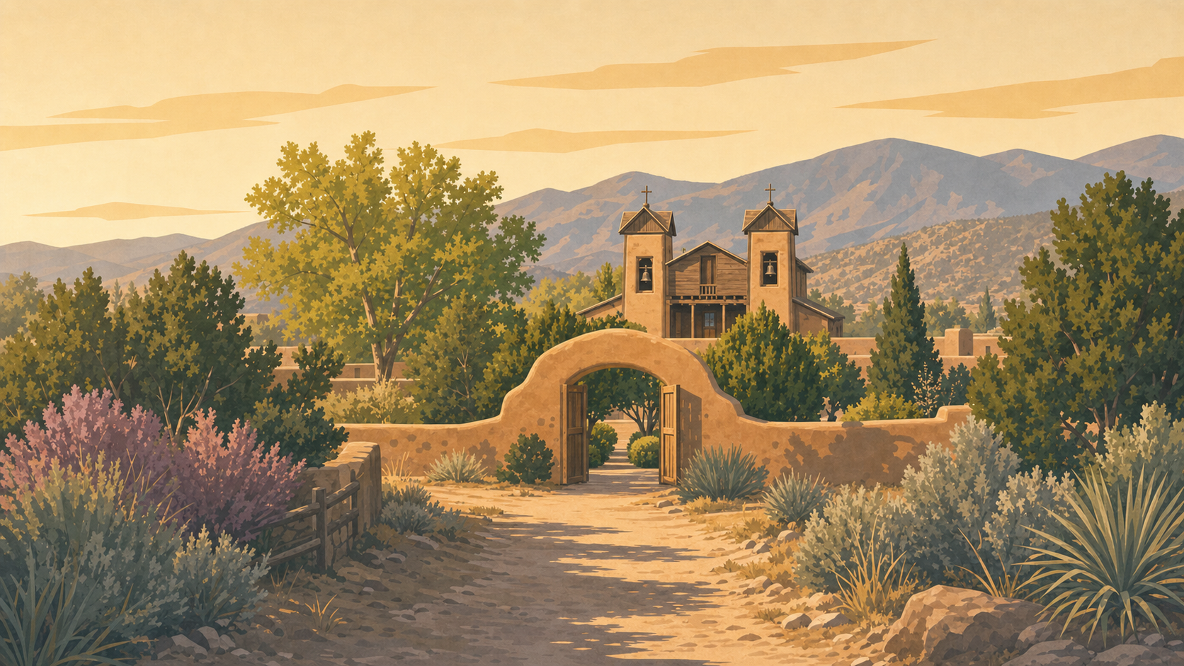
A demanding high-desert pilgrimage from San Luis, Colorado, through the Taos country and the Sangre de Cristo Mountains to El Santuario de Chimayó. It belongs to New Mexico's living pilgrimage tradition and is not a Compostela-qualifying Camino de Santiago route.
185
km
8
curated waypoints
San Luis, Colorado on Camino del Norte a Chimayó
Route preview. The route and its major orientation points are ready to explore. Personal walk tracking remains on the Camino Francés until route-specific milestones, stories, traditions, and optional language content are authored for this route.
Remote pilgrimage, not a supported Camino trail. This long route includes paved roads, sparse services, high elevation, a mountain pass and limited mobile coverage. Holy Week signs, aid stations and traffic measures near Chimayó are temporary. Consult current Santa Fe County guidance, arrange support, and never assume Camino-style waymarking or lodging.
A living, layered sacred landscape. Pueblo and Tewa peoples held this place as sacred and associated it with healing long before Spanish occupation. The later Hispano Catholic shrine and today's pilgrimage belong within—not before—that deeper history.
Highlights along the way

Curated orientation points rather than a turn-by-turn navigation guide. Route variants can change the exact distance.

  1. San Luis USA
    km 0.0 · USA

    The documented long route begins in Colorado's San Luis Valley at roughly 2,410 metres elevation.

  2. Costilla USA
    km 32.0 · USA

    The pilgrimage crosses into New Mexico through sparse sagebrush country.

  3. Questa USA
    km 64.0 · USA

    A northern New Mexico village below the Sangre de Cristo high country.

  4. Taos USA
    km 96.0 · USA

    The road reaches the Taos valley within a living Indigenous and Hispano cultural landscape.

  5. Ranchos de Taos USA
    km 117.0 · USA

    The adobe church of San Francisco de Asís stands near the route south.

  6. Peñasco USA
    km 144.0 · USA

    The most demanding section crosses a remote mountain pass of roughly 2,750 metres.

  7. Truchas USA
    km 168.0 · USA

    A high-road village amid piñon, juniper and views toward the Truchas Peaks.

  8. El Santuario de Chimayó USA
    km 185.0 · USA

    The adobe shrine is the destination of a regional pilgrimage tradition more than two centuries old.

Pilgrimage account and route reference: view the reference.

Install Virtual Camino

On iPhone or iPad, open Safari’s Share menu and choose Add to Home Screen. On Android, use your browser’s Install app or Add to Home screen option.